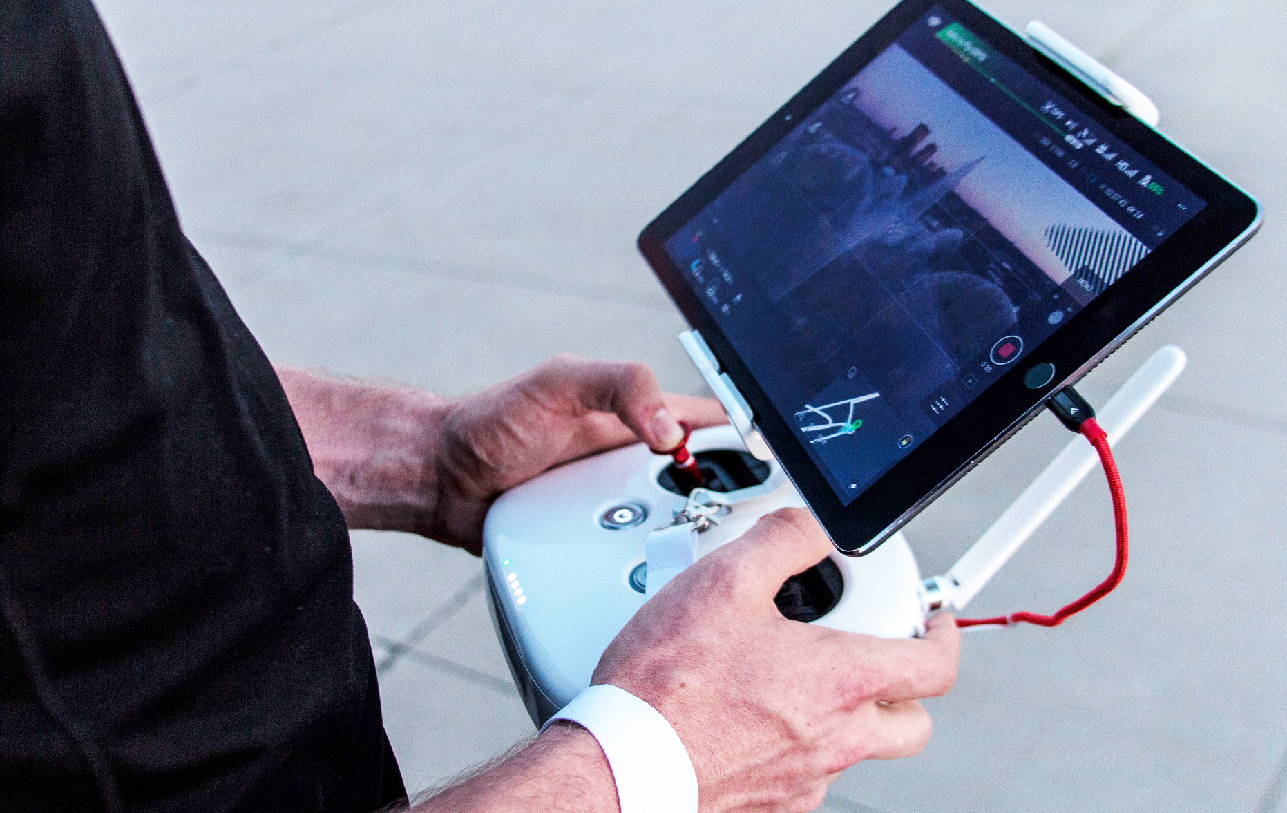
Aerial Drone Surveys
Utilising cutting-edge drone technology, we capture high-resolution aerial images and 3D mapping to provide large-scale surveys quickly and safely. This is particularly useful for expansive or hard-to-reach areas, where conventional surveying methods may be limited.