
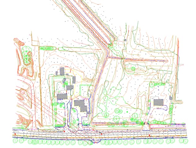
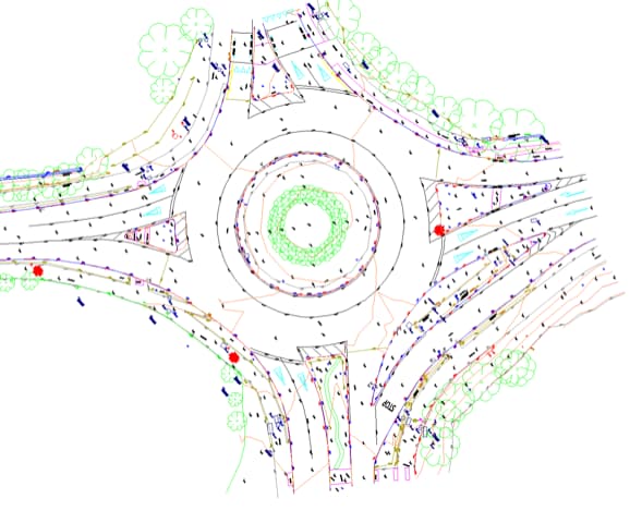
Topographical Surveys
Our topographical surveys give you a detailed understanding of the natural and man-made features on your land. From elevations and contours to buildings and utilities, we capture the full scope of your property’s layout. Our surveys help you visualize the terrain, allowing for informed decisions that streamline planning, design, and construction.
What is Topographical Surveying?
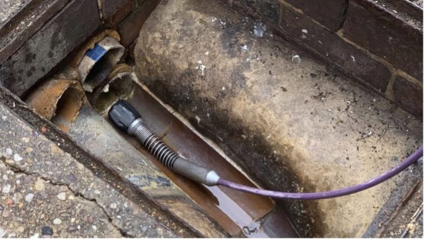
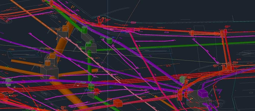
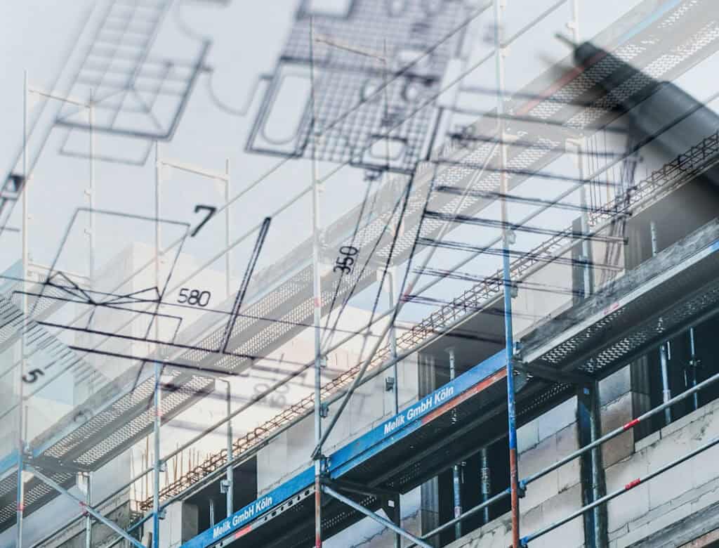
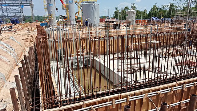
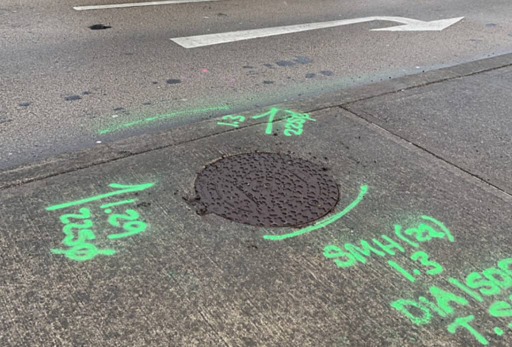
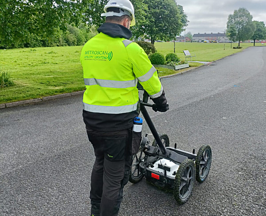
Topographical surveying is a specialised type of land surveying that maps the natural and man-made features of a land area. It captures details such as terrain elevations, contours, trees, buildings, roads, and utilities, providing essential data for planning and development projects.
Why is Topographical Surveying Important?
- Accurate Land Mapping – Helps engineers, architects, and developers understand the terrain before construction.
- Planning & Design – Essential for site planning, drainage analysis, and infrastructure development.
- Legal & Compliance – Ensures projects meet regulatory requirements and environmental considerations.
- Risk Management – Identifies potential challenges like uneven terrain, flood risks, or obstructions.
Who Needs Topographical Surveys?
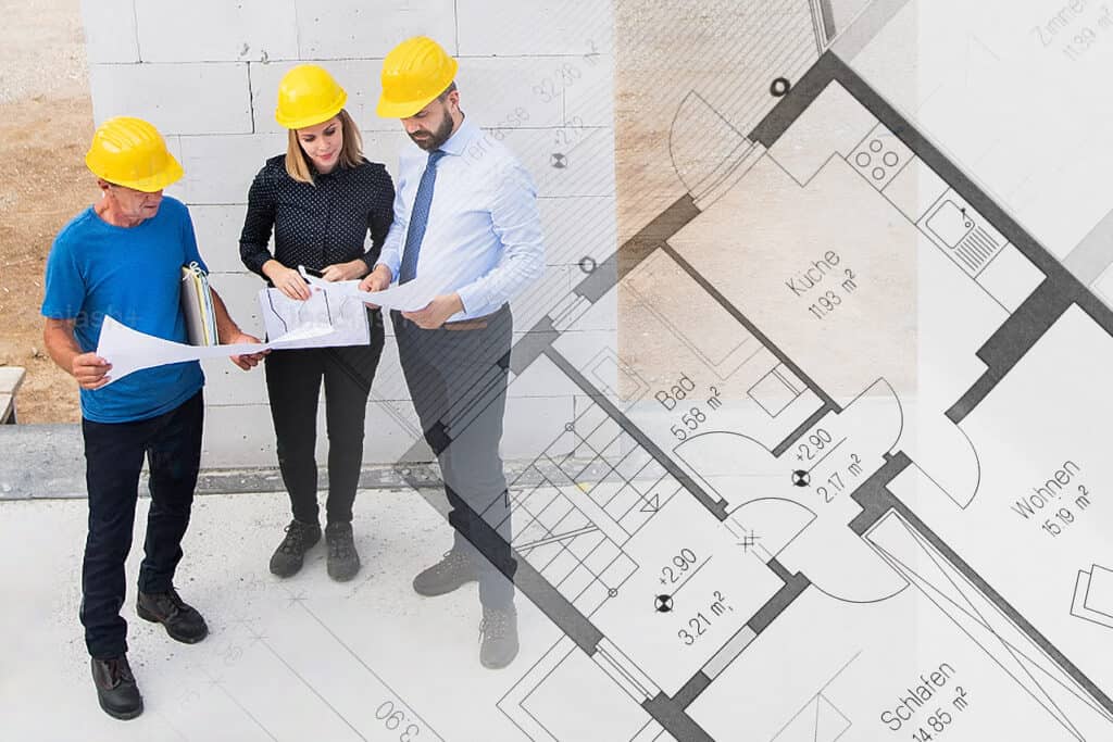
✔ Architects & Engineers – For designing buildings, roads, and utilities.
✔ Construction Companies – To ensure accurate site preparation.
✔ Property Developers – For land development and zoning applications.
✔ Government & Environmental Agencies – For planning and conservation efforts.
Why Choose Metroscan?
✔ Experienced Professionals – Our team consists of highly trained land surveyors with years of industry experience.
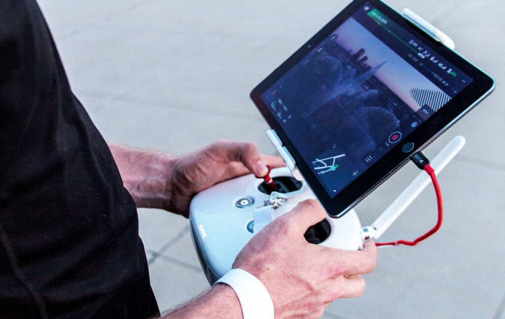
✔ State-of-the-Art Technology – We use the latest surveying equipment and software to deliver precise and efficient results.
✔ Comprehensive Solutions – From land development to infrastructure planning, we provide tailored solutions to meet your needs.
✔ Reliable & Accurate – We pride ourselves on delivering accurate survey data, ensuring your projects run smoothly and efficiently.
Contact Us
Let Metroscan provide the precision and expertise your project needs. Get in touch with us today!