GPR post-processing is a multi-stage process that transforms raw radar signals into actionable insights. From initial data cleaning to complex migration algorithms, each stage plays a pivotal role in revealing the structure of the subsurface. The ultimate goal is to provide a clear, accurate representation that can support decision-making in planning, engineering, construction, and environmental studies. Post-processing not only enhances data quality but also ensures that the final interpretation is both accurate and reliable.
See samples below:


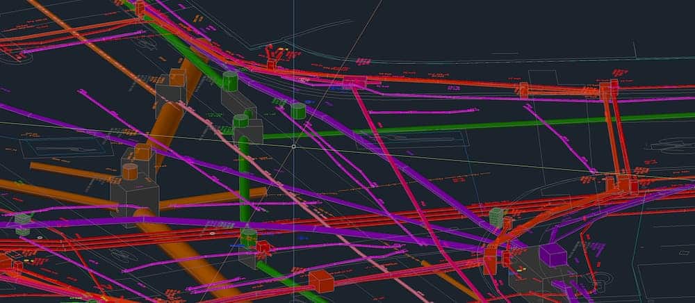
3D Modelled drawings
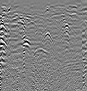
Example of GPR processing
GPR Coverage using multi array radar

